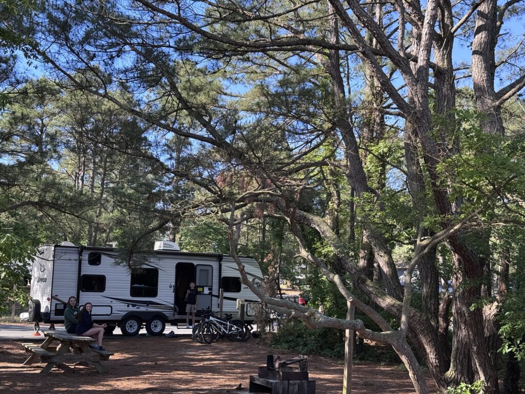
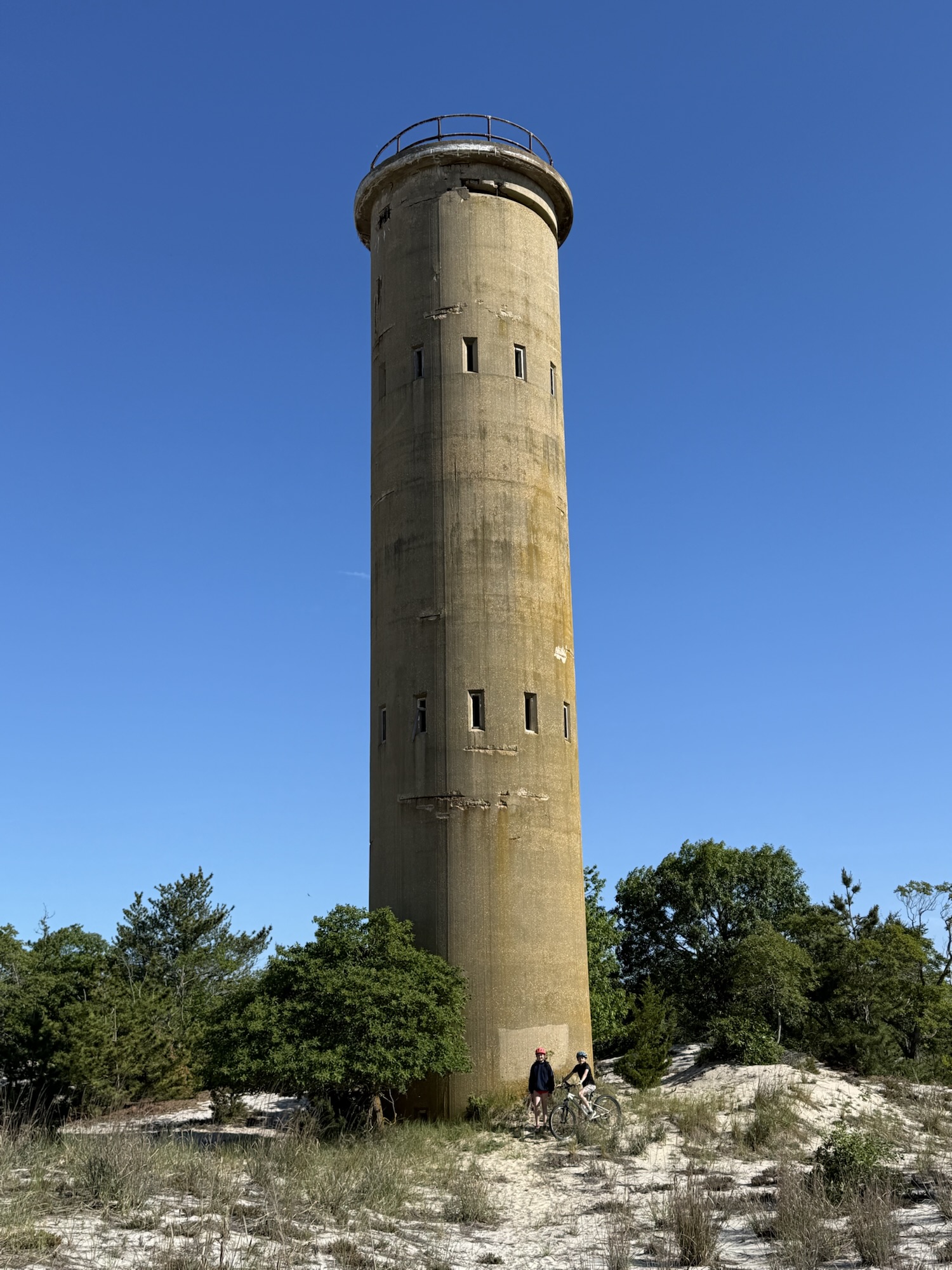
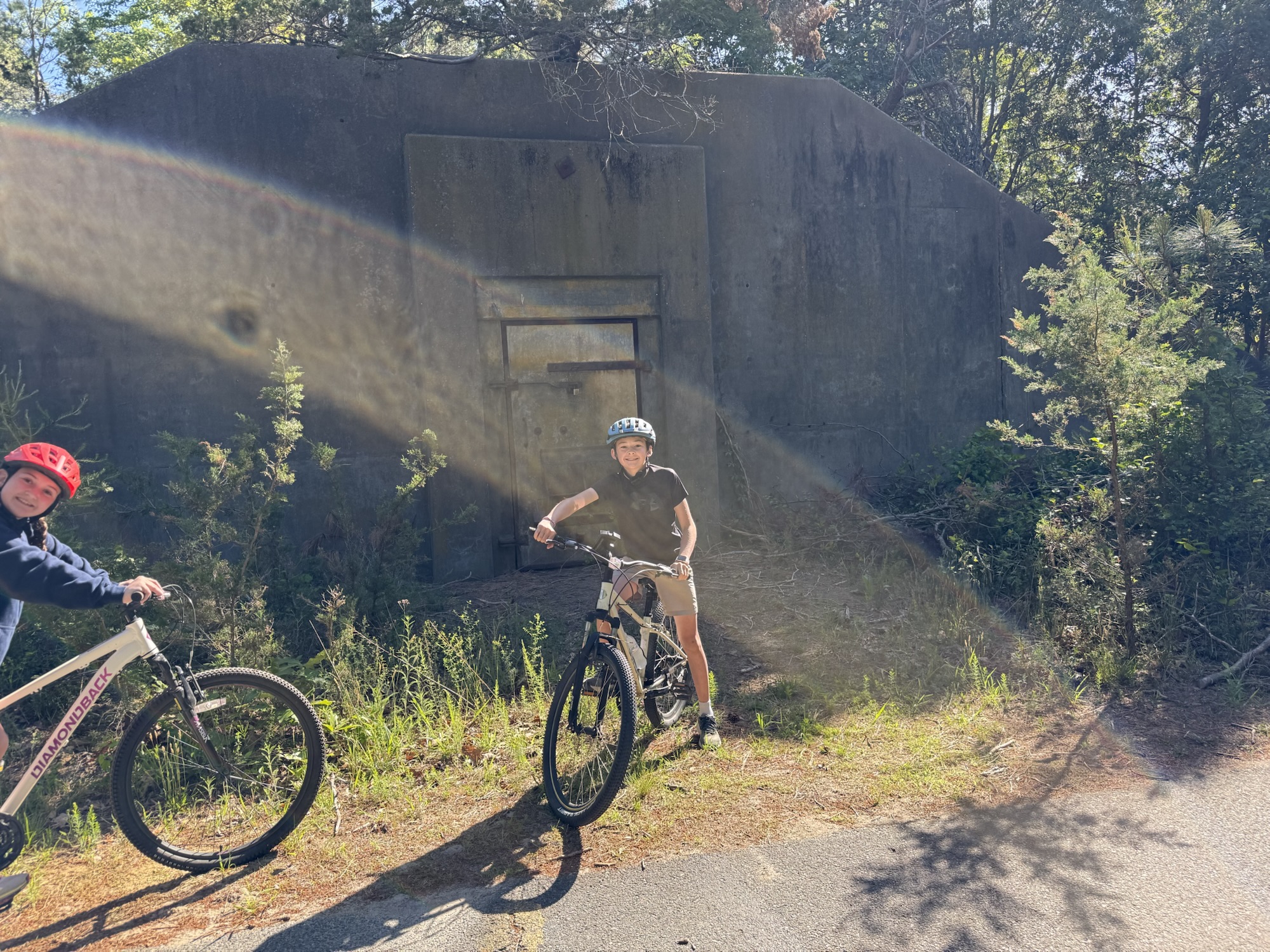
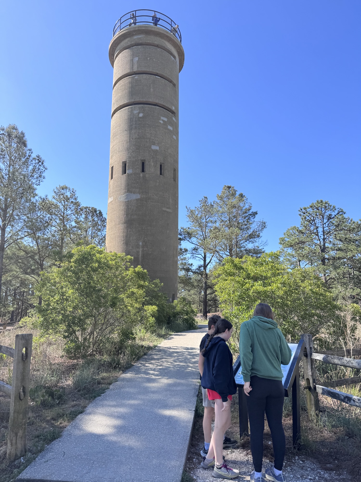
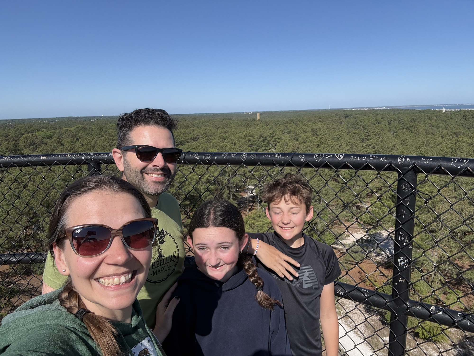
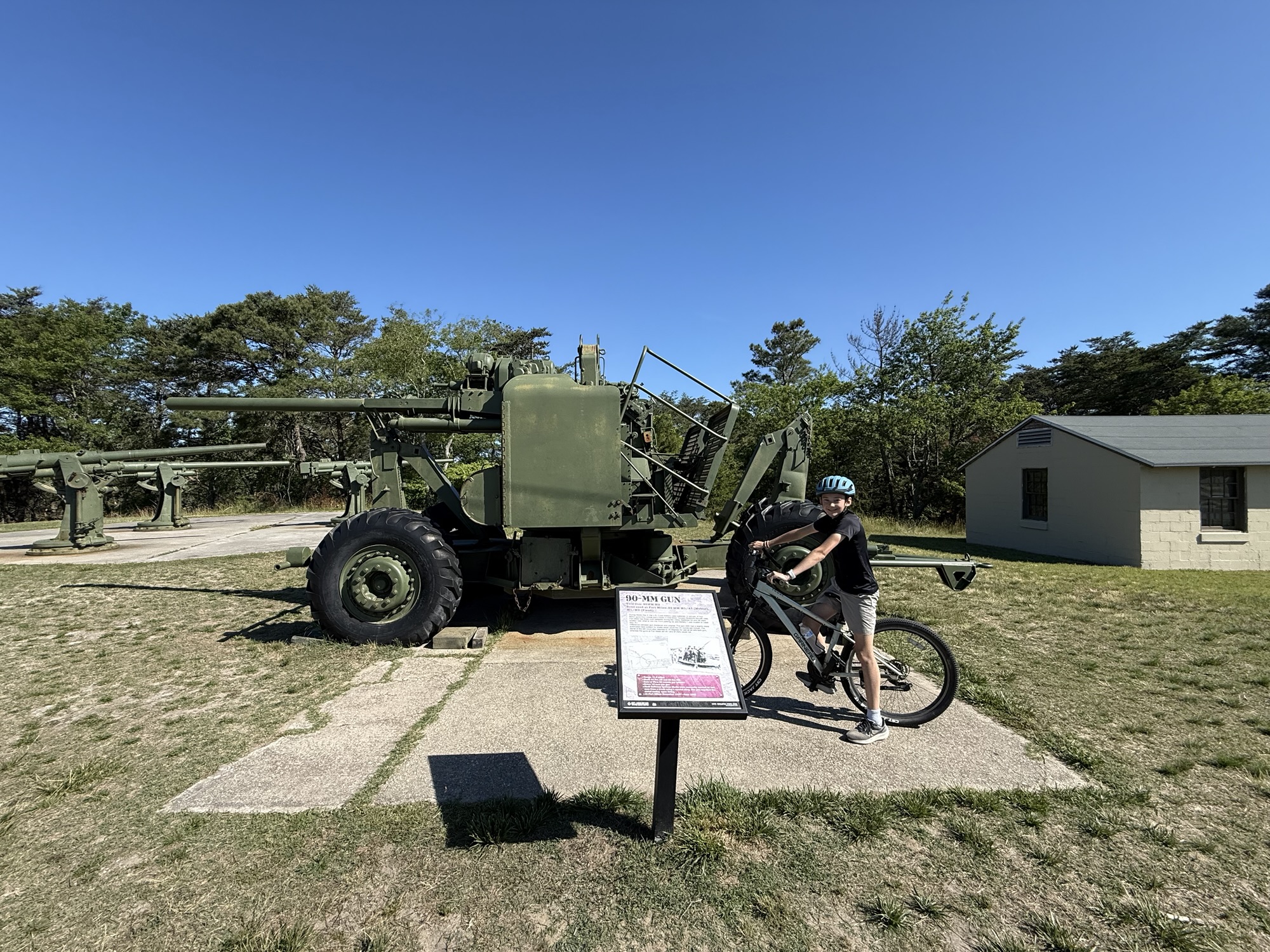
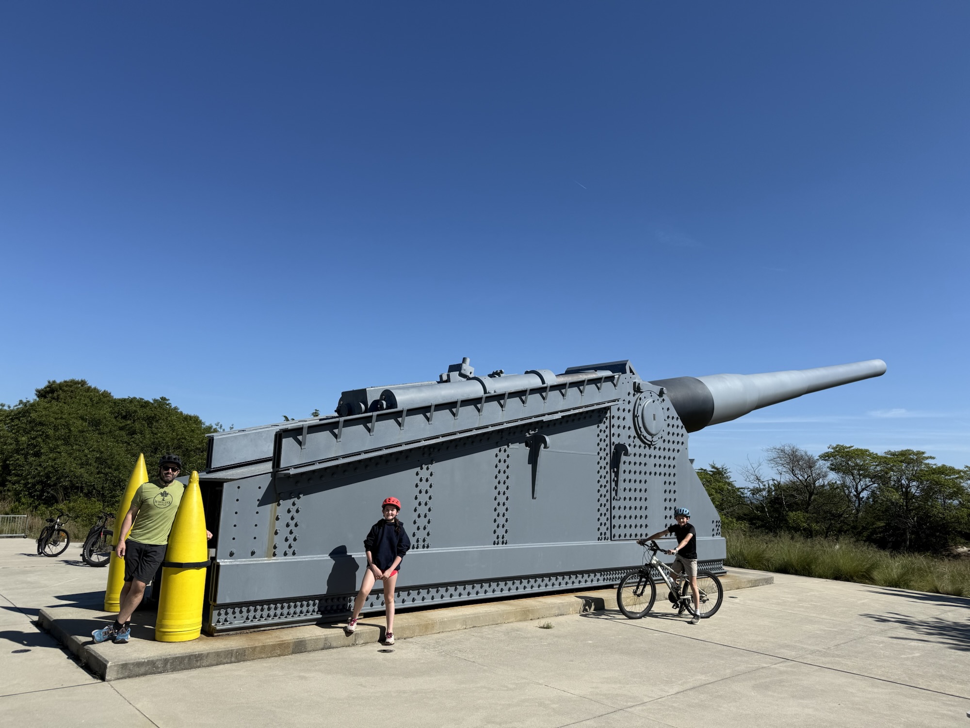
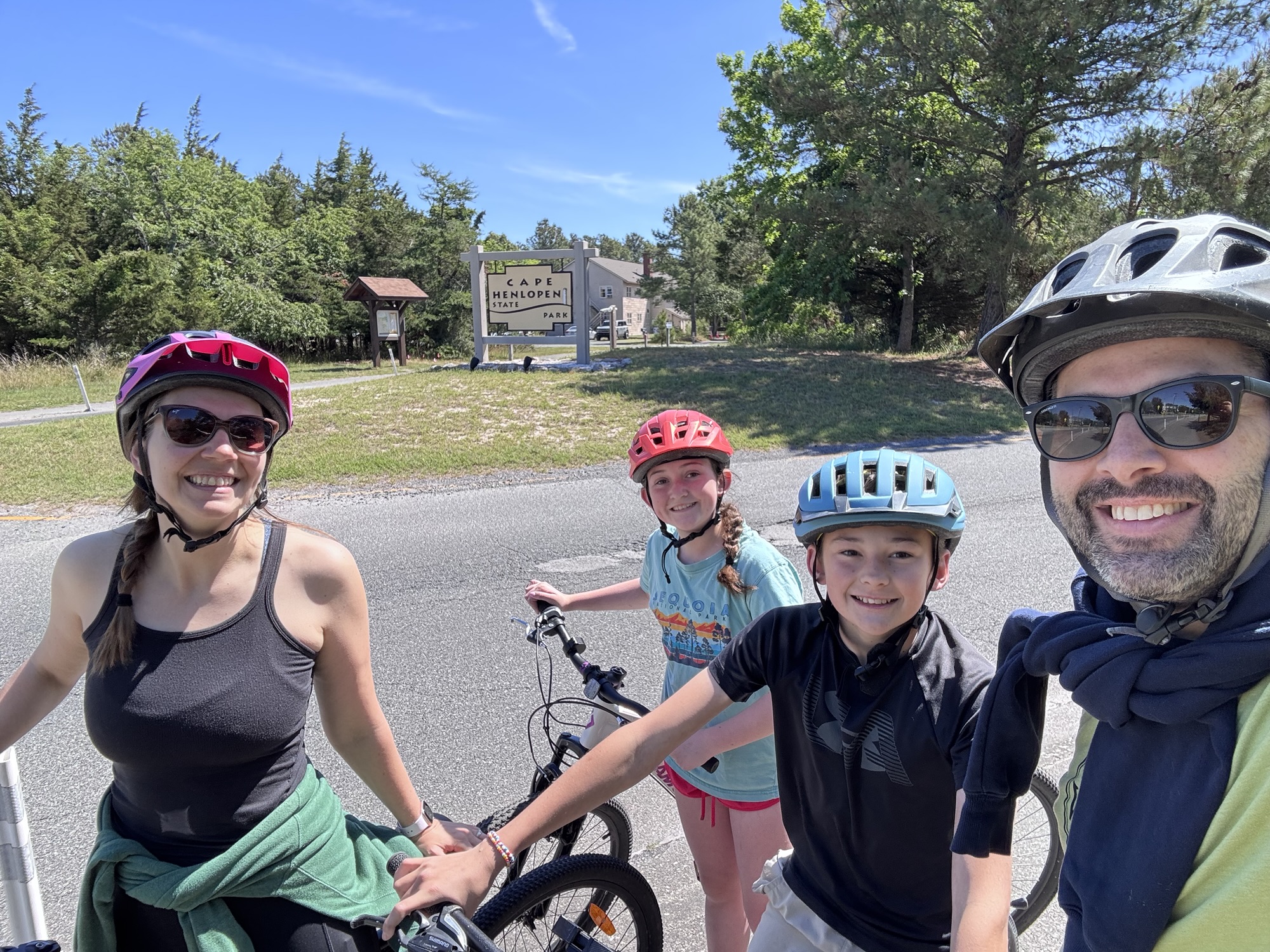
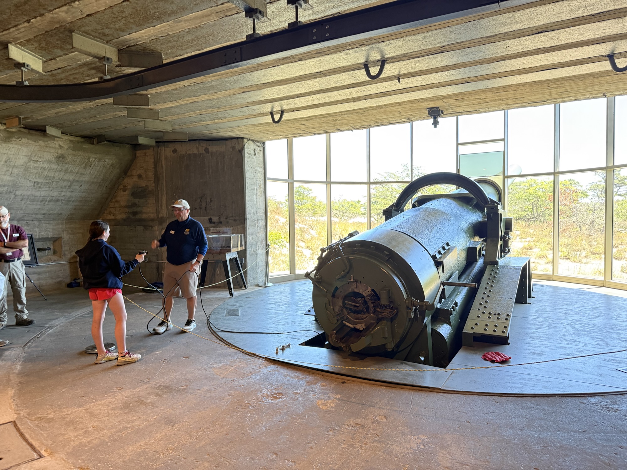
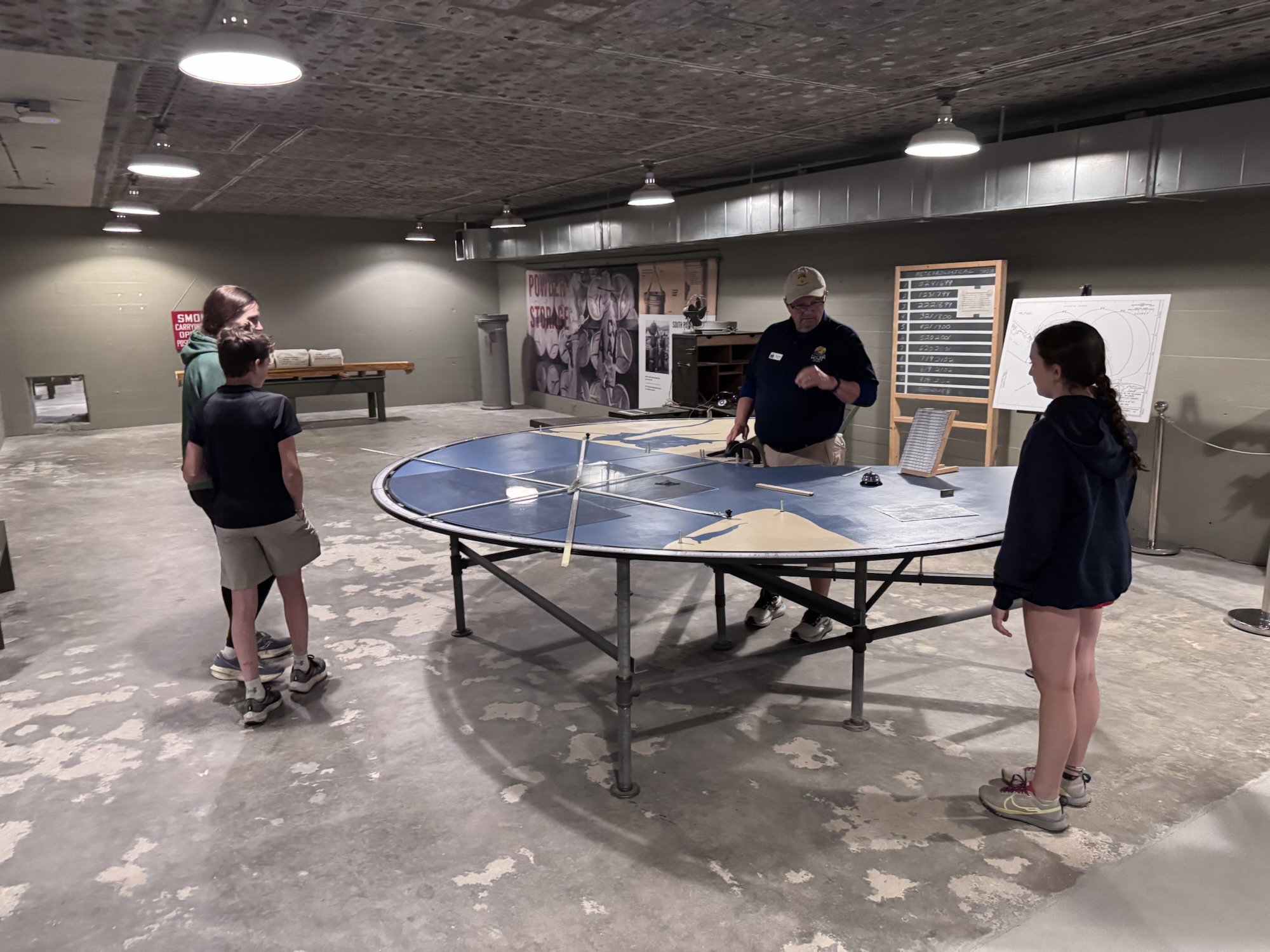
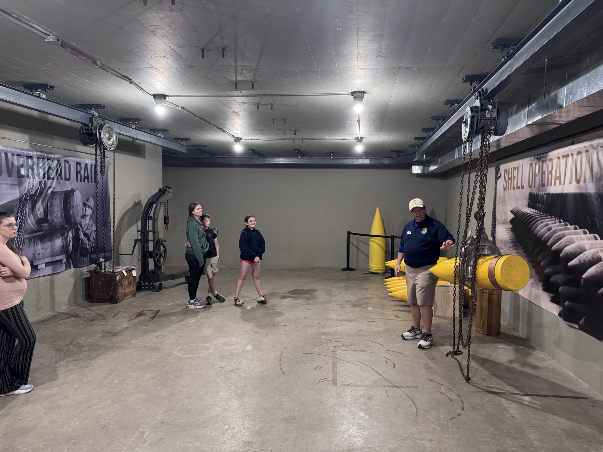
We had a terrific morning exploring Cape Henlopen State Park. We biked 13km around old Fort Miles. We did a guided tour of Battery 519, a 15,000-square-foot fortified underground bunker. Fort Miles was a key piece of the nation’s coastal defense during World War II. Using triangulation they would determine where the incoming ships where so they could shoot the cannon in the right place.
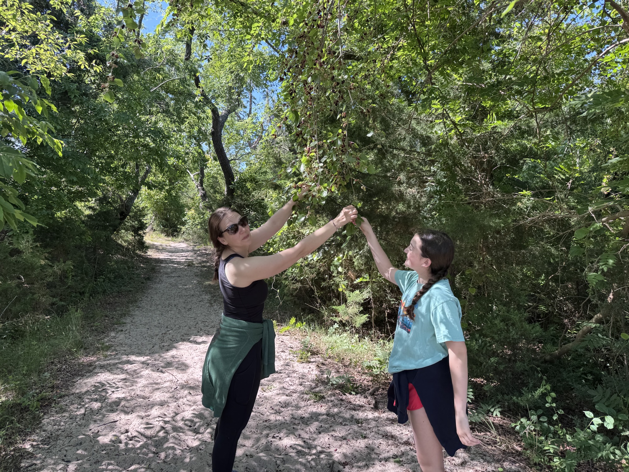
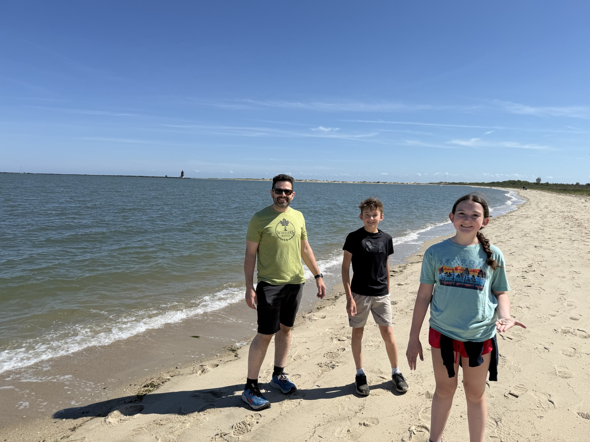
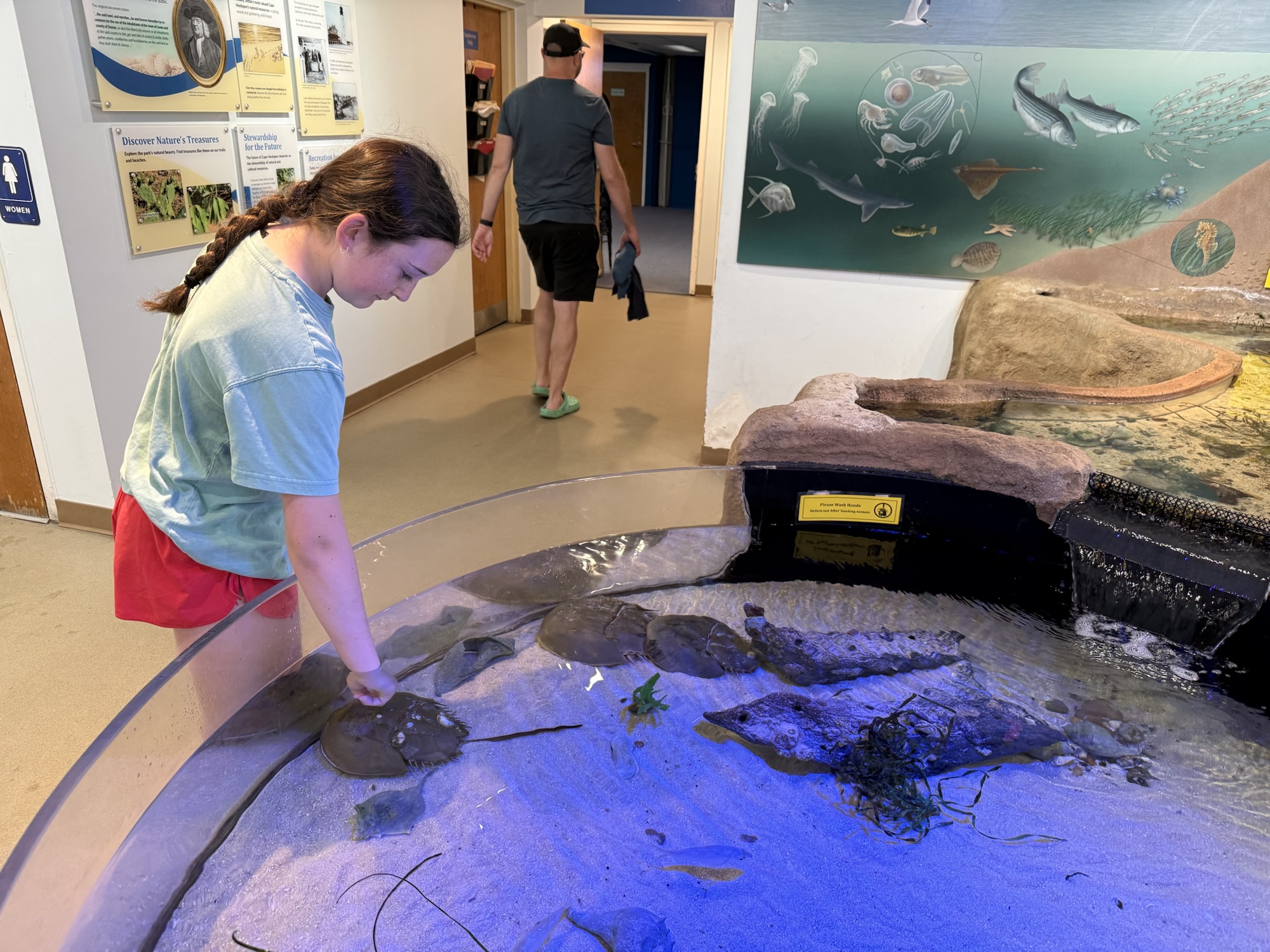
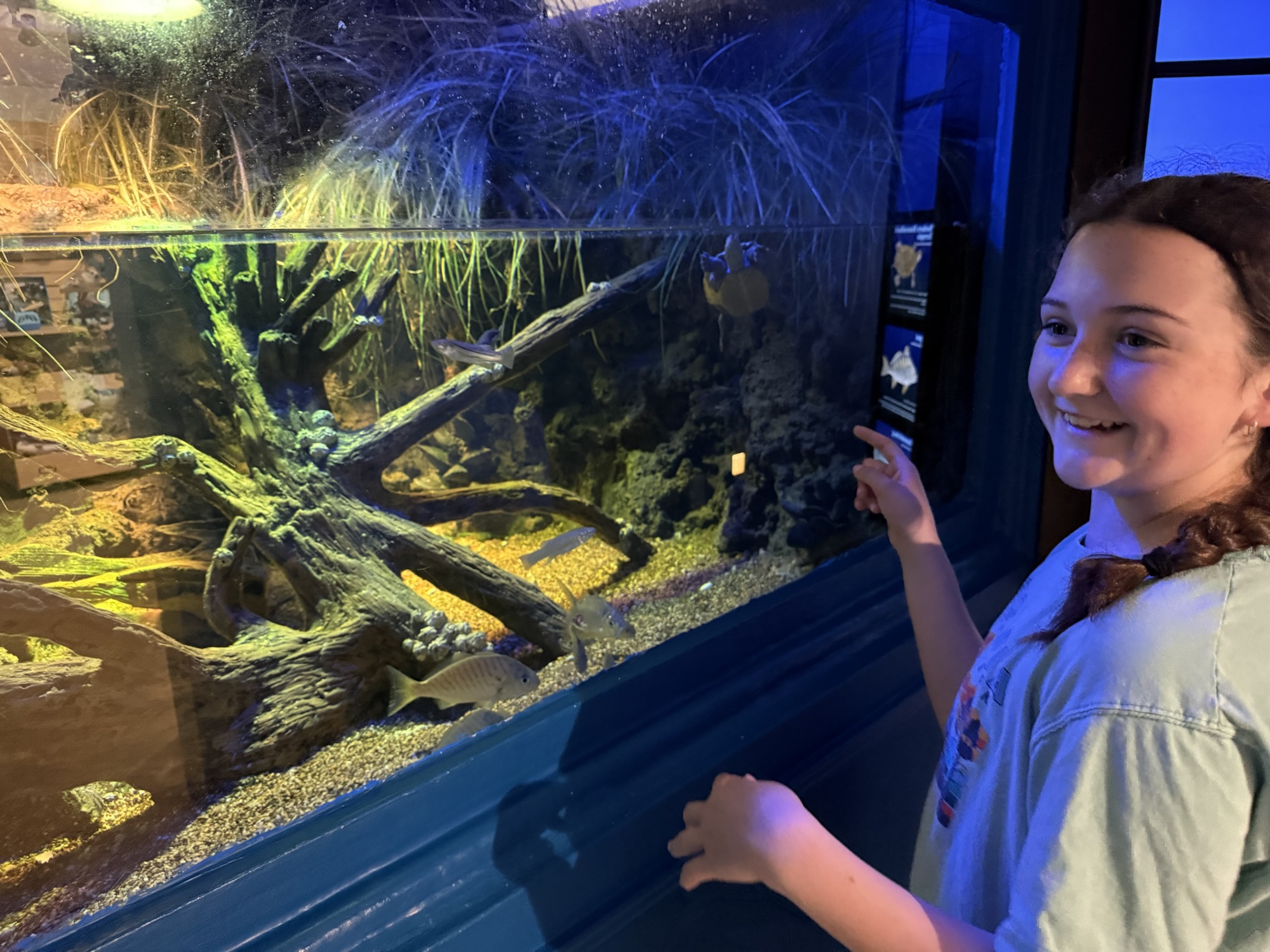
Cape Henlopen State Park
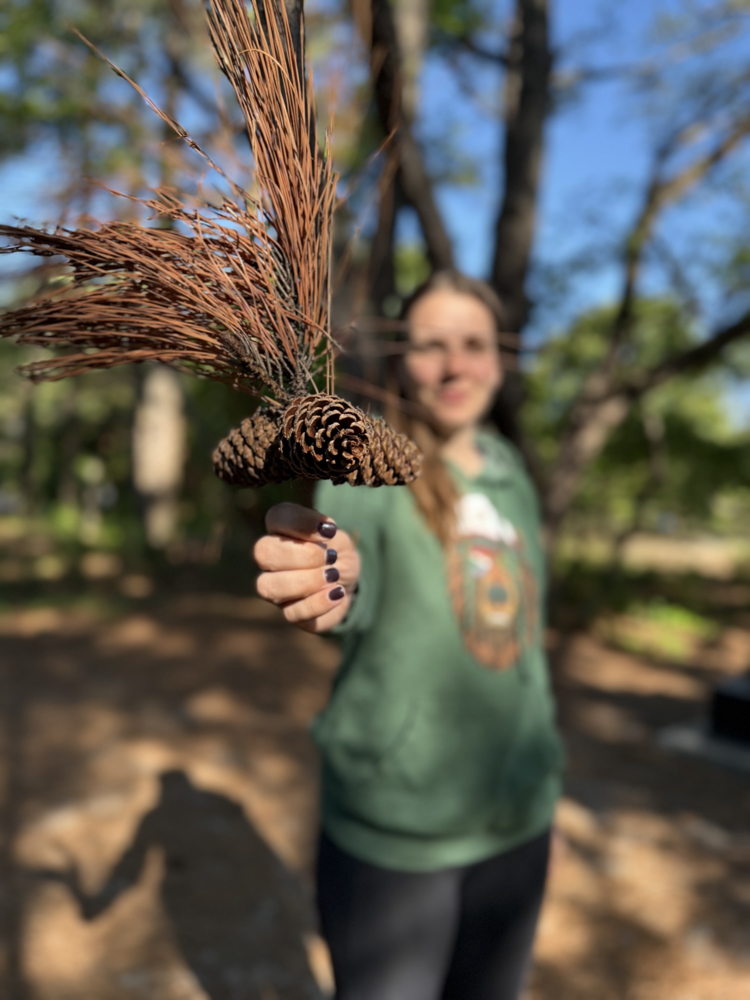
Assateague Island National Seashore
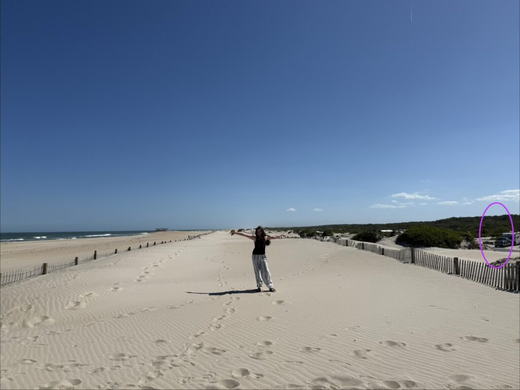
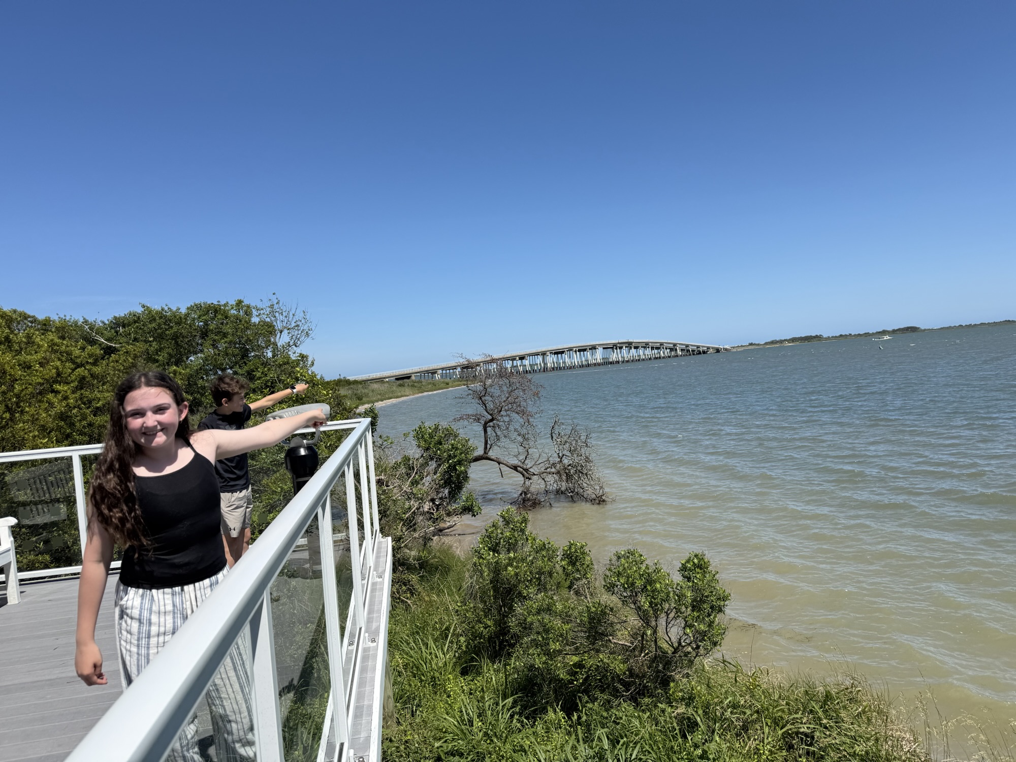
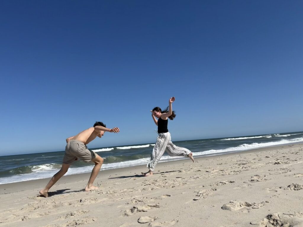
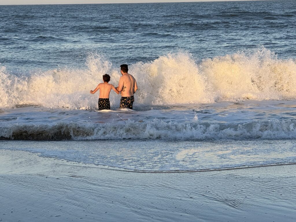
Afternoon on the Atlantic Ocean
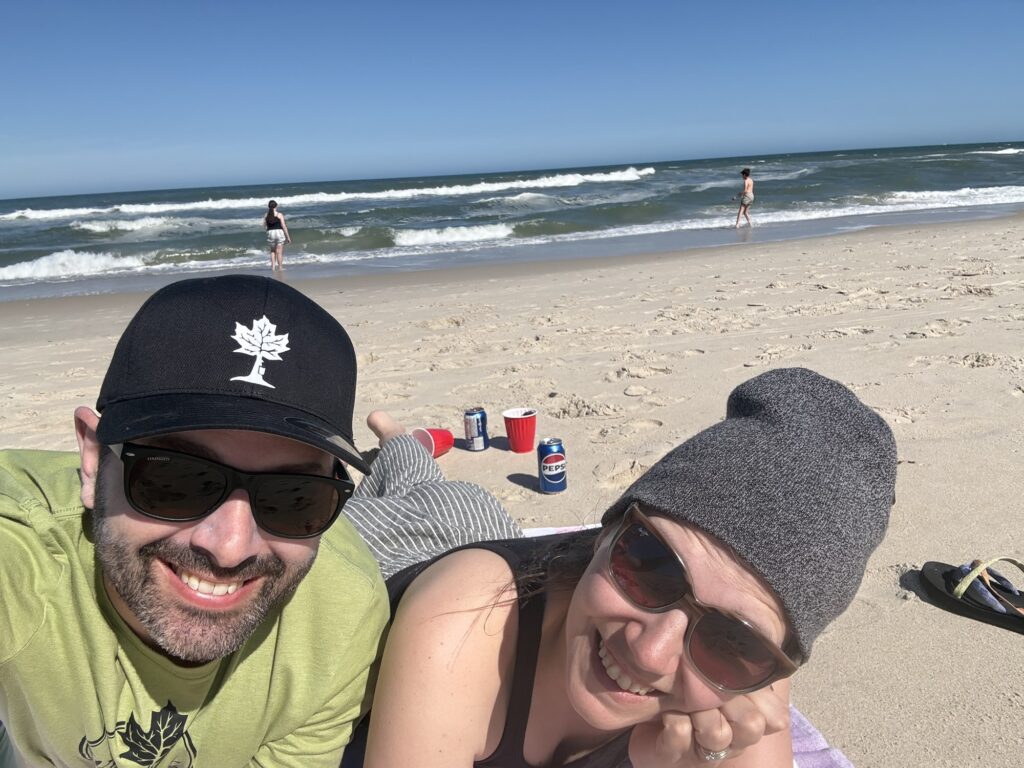
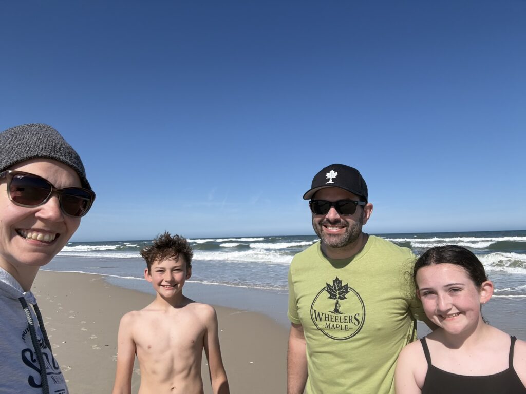
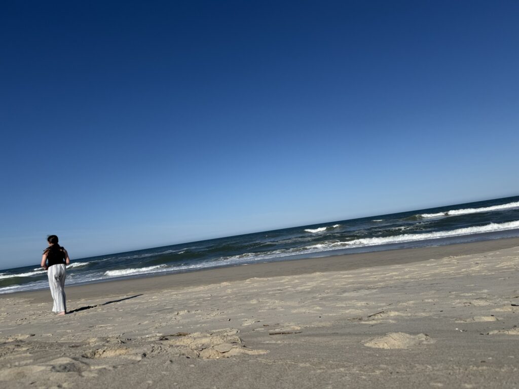
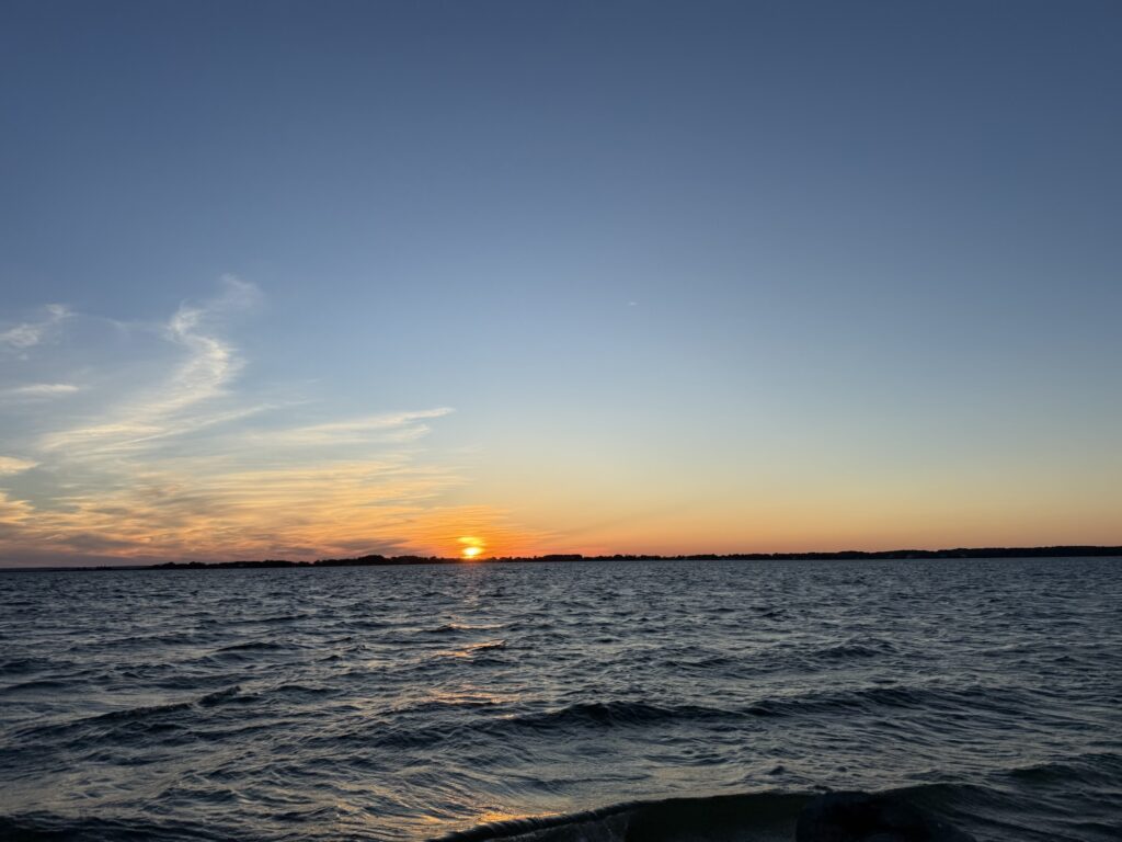
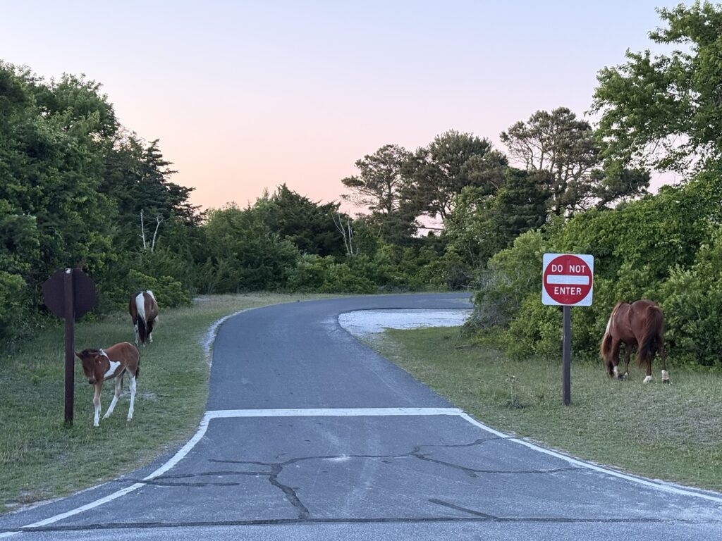
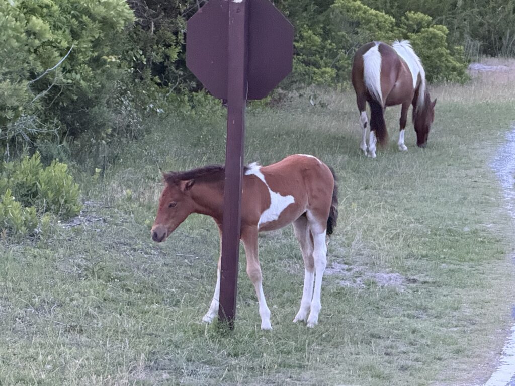
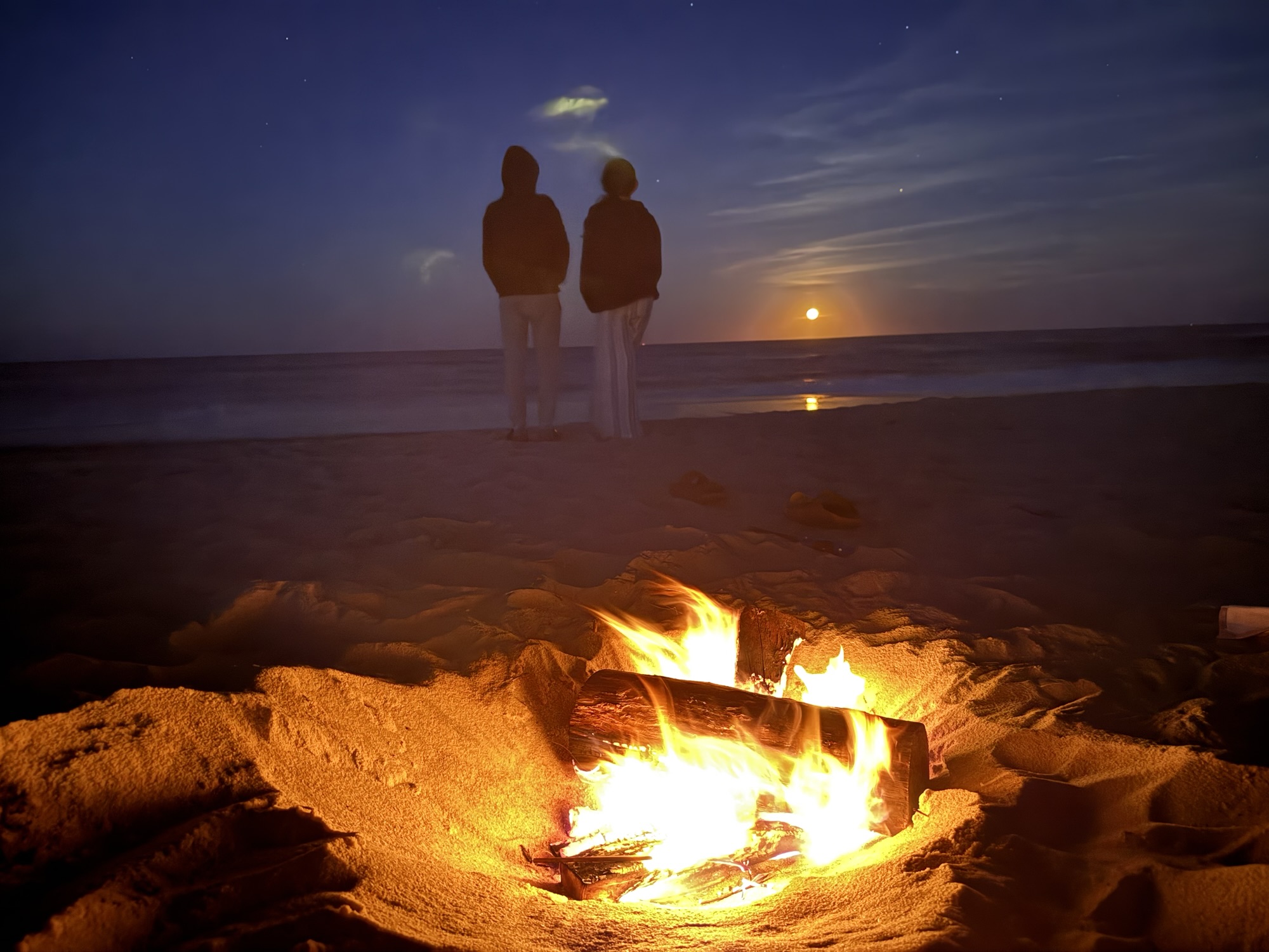

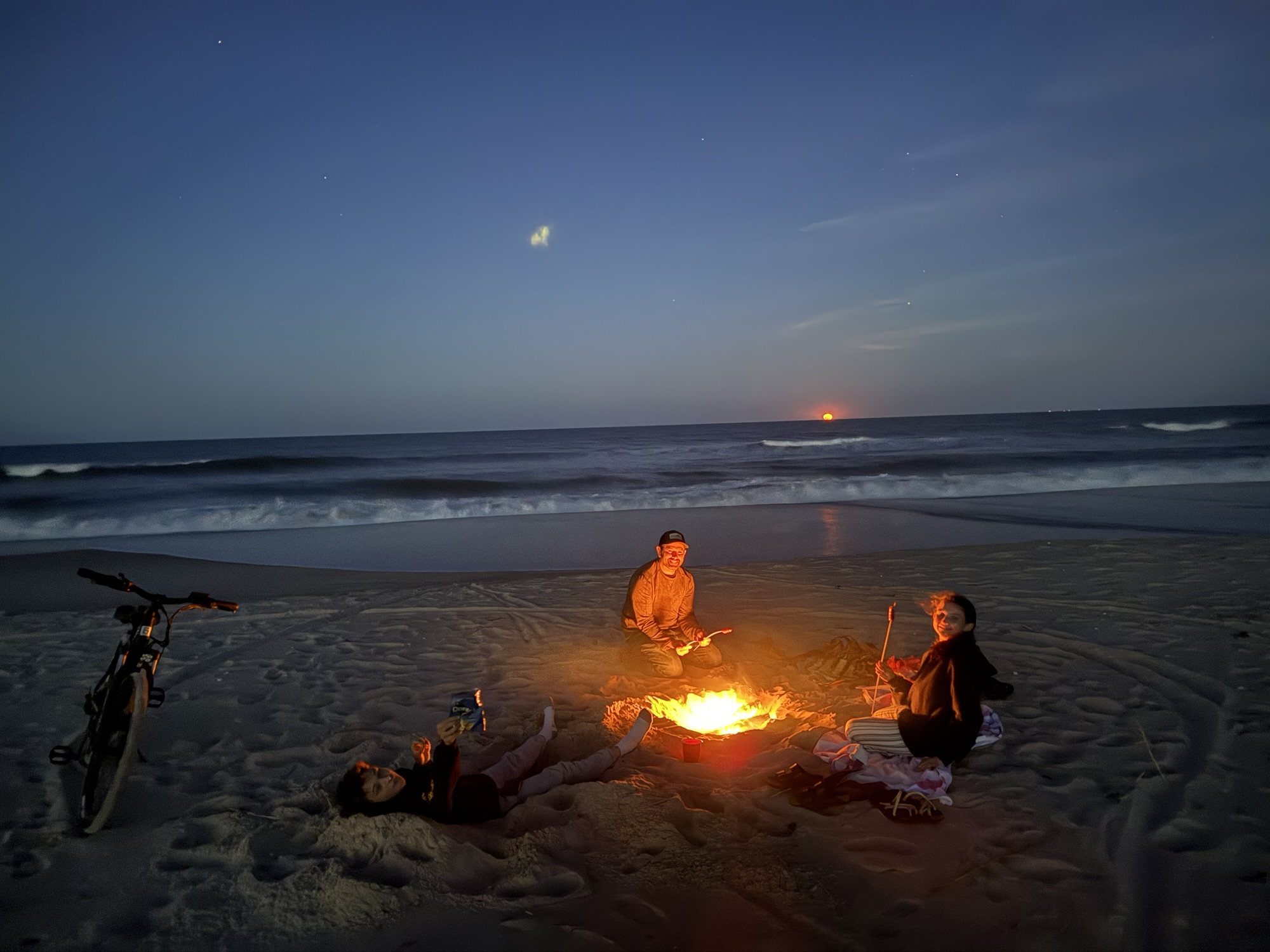
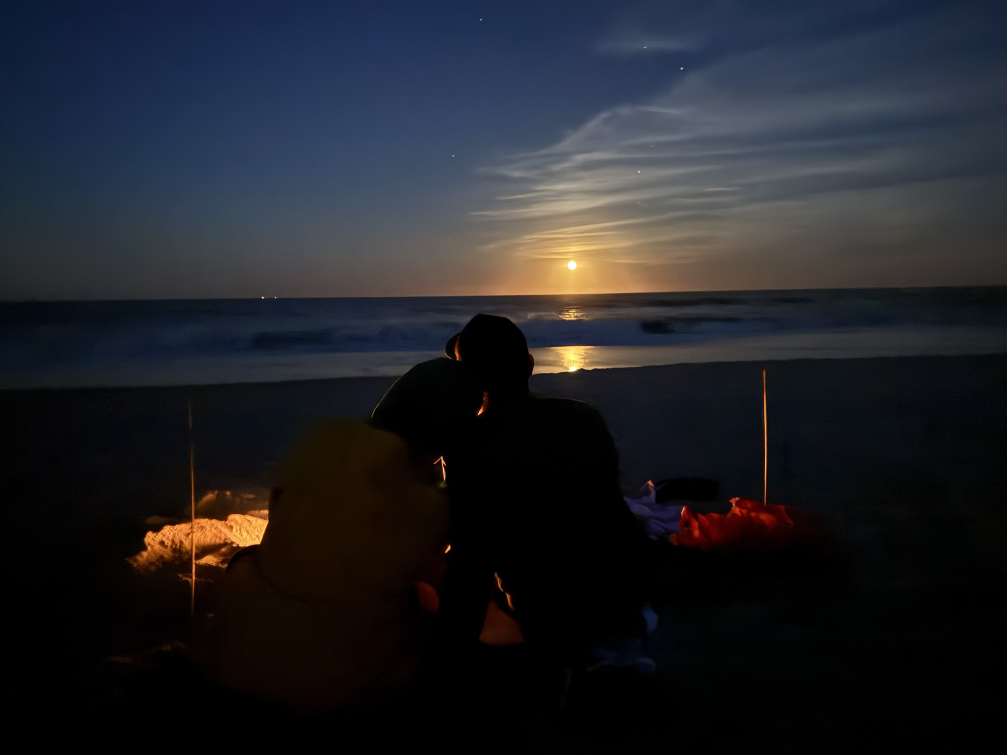
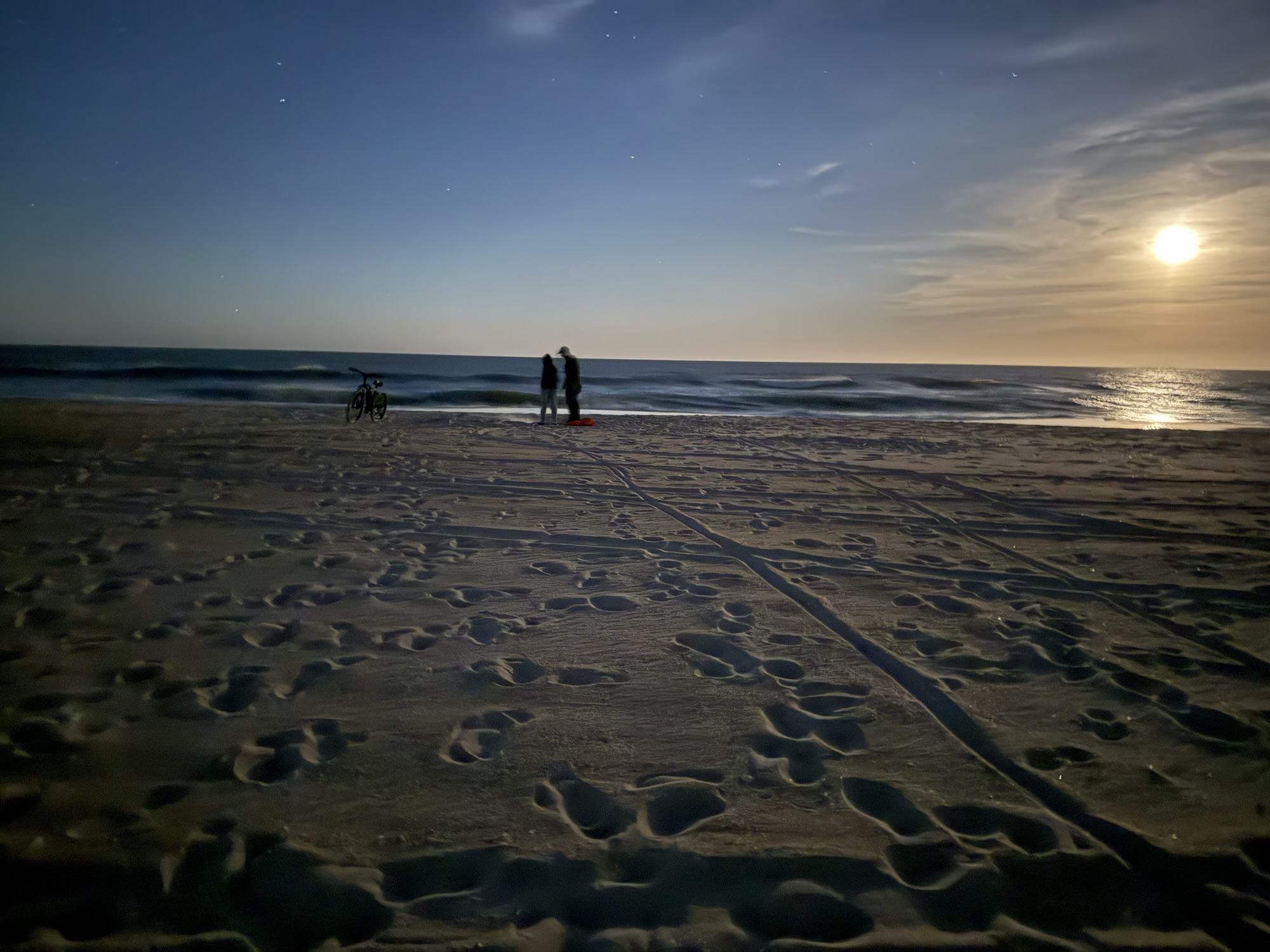
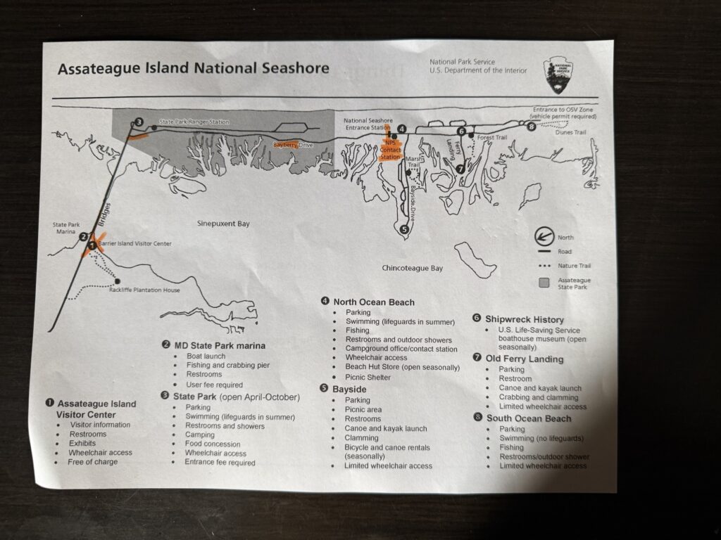
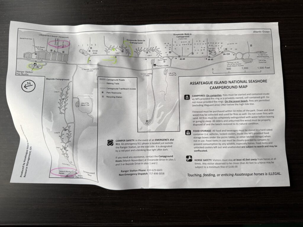
Assateague Island is a 37-mile (60 km) long barrier island located off the eastern coast of the Delmarva Peninsula facing the Atlantic Ocean.[1] The northern two-thirds of the island are in Maryland, and the southern third is in Virginia. The entire island is designated as Assateague Island National Seashore.
Barrier islands are a coastal landform, a type of dunesystem and sand island, where an area of sand off the coast has been formed by wave and tidal action parallel to the mainland coast.[1] Barrier islands are commonly formed in long, narrow systems parallel to shorelines and are shaped by waves, tides, sediment movement, and sea-level change, which cause them to shift, grow, or erode over time.[2] They protect coastlines by absorbing energy, and create areas of protected waters where wetlands may flourish.